Share
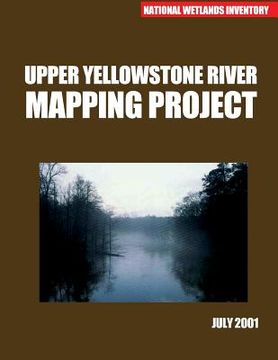
Upper Yellowstone River Mapping Project July 2001 (in English)
U S Fish & Wildlife Service
(Author)
·
Createspace Independent Publishing Platform
· Paperback
Upper Yellowstone River Mapping Project July 2001 (in English) - U S Fish & Wildlife Service
$ 12.60
$ 15.75
You save: $ 3.15
Choose the list to add your product or create one New List
✓ Product added successfully to the Wishlist.
Go to My WishlistsIt will be shipped from our warehouse between
Monday, July 01 and
Tuesday, July 02.
You will receive it anywhere in United States between 1 and 3 business days after shipment.
Synopsis "Upper Yellowstone River Mapping Project July 2001 (in English)"
The Yellowstone River is the longest free flowing river in the contiguous United States. It flows for six hundred seventy miles from it's headwaters in the Absaroka Mountains in northern Wyoming to it's juncture with with the Missouri River in western North Dakota. Lewis and clark descended much of the Yellowstone River during their Voyage of Discovery in 1806.
- 0% (0)
- 0% (0)
- 0% (0)
- 0% (0)
- 0% (0)
All books in our catalog are Original.
The book is written in English.
The binding of this edition is Paperback.
✓ Producto agregado correctamente al carro, Ir a Pagar.

