Share
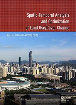
Spatio-Temporal Analysis and Optimization of Land Use/Cover Change: Shenzhen as a Case Study (in English)
Wenting Zhang
(Author)
·
Bo Huang
(Author)
·
Biao Liu
(Author)
·
CRC Press
· Hardcover
Spatio-Temporal Analysis and Optimization of Land Use/Cover Change: Shenzhen as a Case Study (in English) - Liu, Biao ; Huang, Bo ; Zhang, Wenting
$ 223.58
$ 372.64
You save: $ 149.06
Choose the list to add your product or create one New List
✓ Product added successfully to the Wishlist.
Go to My Wishlists
Origin: United Kingdom
(Import costs included in the price)
It will be shipped from our warehouse between
Tuesday, July 30 and
Thursday, August 08.
You will receive it anywhere in United States between 1 and 3 business days after shipment.
Synopsis "Spatio-Temporal Analysis and Optimization of Land Use/Cover Change: Shenzhen as a Case Study (in English)"
This book proposes a method to solve land use problems, and has made some significant contributions to the land use analysis and optimization study fields. Firstly, three spatio-temporal logit models for land use change analysis, namely, geographically and temporally weighted logit model (GTWLM), spatio-temporal panel logit model (ST-PLM) and generalized spatio-temporal logit model (GSTLM), are proposed. GTWLM, which considers spatio-temporal non-stationarity, includes temporal data in a spatio-temporal framework by proposing a spatiotemporal distance. ST-PLM incorporates the spatio-temporal correlation and individual effect in one model. By integrating GTWLM and ST-PLM, the GSTLM explores spatio-temporal non-stationarity and correlations simultaneously, whilst considering their individual effects to construct an integrated model. Secondly, a MOO-based two-level spatial planning of land use is proposed. The spatial planning aims at managing and coordinating the land use at different geographic extents and involves spatial layouts and structures of land use at different levels. In spatial planning, GIS and Remote Sensing are used to evaluate, analyze, and measure environmental, economic and social issues. The quantitative relationships between these objectives and spatial land use allocation are then used as rules in the MOO process to simulate environmental conditions under different spatial land use allocation scenarios. The book features a case study of Shenzhen city, the most important Special Economic Zone in China.This book will be of interest to academics and professionals in the fields of urban planning, land resource management, remote sensing and geographic information systems.

