Share
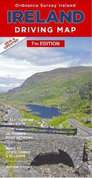
Ireland Driving map (Irish Maps, Atlases & Guides) (in English)
Ordnance Survey Ireland (Author)
·
Ordnance Survey Ireland
· Map
Ireland Driving map (Irish Maps, Atlases & Guides) (in English) - Ordnance Survey Ireland
$ 11.70
$ 14.62
You save: $ 2.92
Choose the list to add your product or create one New List
✓ Product added successfully to the Wishlist.
Go to My WishlistsIt will be shipped from our warehouse between
Tuesday, July 16 and
Thursday, July 18.
You will receive it anywhere in United States between 1 and 3 business days after shipment.
Synopsis "Ireland Driving map (Irish Maps, Atlases & Guides) (in English)"
Island Ferries are included on the map and include ferries to Sceilg Mhichil off County Kerry, Oileain Arainn in Galway Bay, Arainn Mhor off County Donegal, Toraigh off County Donegal and Rathlin Island off County Antrim.
- 0% (0)
- 0% (0)
- 0% (0)
- 0% (0)
- 0% (0)
All books in our catalog are Original.
The book is written in English.
The binding of this edition is Map.
✓ Producto agregado correctamente al carro, Ir a Pagar.

