Share
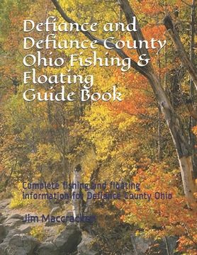
Defiance and Defiance County Ohio Fishing & Floating Guide Book: Complete fishing and floating information for Defiance County Ohio (in English)
Jim MacCracken
(Author)
·
Independently Published
· Paperback
Defiance and Defiance County Ohio Fishing & Floating Guide Book: Complete fishing and floating information for Defiance County Ohio (in English) - MacCracken, Jim
$ 72.76
$ 90.95
You save: $ 18.19
Choose the list to add your product or create one New List
✓ Product added successfully to the Wishlist.
Go to My WishlistsIt will be shipped from our warehouse between
Tuesday, July 02 and
Wednesday, July 03.
You will receive it anywhere in United States between 1 and 3 business days after shipment.
Synopsis "Defiance and Defiance County Ohio Fishing & Floating Guide Book: Complete fishing and floating information for Defiance County Ohio (in English)"
Defiance County Ohio Fishing & Floating Guide Book Over 500 full 8 1/2 x 11 pages of information and maps available. Fishing information for ALL of the county's public ponds and lakes, listing types of fish for each pond or lake, average sizes, and exact locations with GPS coordinates and directions. Also included is fishing information for most of the streams and rivers including access points and public areas with road contact and crossing points and also includes fish types and average sizes. NEW NEW Now with a complete set of 16 full sized U.S.G.S. Topographical Maps for the entire county that cost from $8.00 to $15.00 each but are included on the disk for FREE. These maps are complete full sized 7.5 minute series quadrangle maps in 1:24,000 scale and can be opened with Paint or may other types of software. Contains complete information on the Auglaize River*, Gordon Creeks, Lick Creek, Maumee River*, Mud Creek, Powell Creeks, St Joseph River*, and the Tiffin River*(* are floatable or canoeable rivers)
- 0% (0)
- 0% (0)
- 0% (0)
- 0% (0)
- 0% (0)
All books in our catalog are Original.
The book is written in English.
The binding of this edition is Paperback.
✓ Producto agregado correctamente al carro, Ir a Pagar.

